![Elephant Rock [Ulleungdo-Dokdo National Geopark] (코끼리바위 (울릉도, 독도 국가지질공원))](/_next/image?url=http%3A%2F%2Ftong.visitkorea.or.kr%2Fcms%2Fresource%2F98%2F181998_image2_1.jpg&w=3840&q=75)
Elephant Rock [Ulleungdo-Dokdo National Geopark] (코끼리바위 (울릉도, 독도 국가지질공원))
Hyeonpo-ri, Buk-myeon, Ulleung-gun, Gyeongsangbuk-do
About
Visitors also explore Nari Basin (나리분지), Samseonam Rocks [National Geopark] (삼선암 (울릉도, 독도 국가지질공원)) and Gwaneumdo Island (관음도) near this location.
Location
37.53851, 130.86891
More Attractions in Gyeongbuk

Bonghwa Cheongnyangsa Temple (청량사(봉화))
199-152, Cheongnyangsan-gil, Bonghwa-gun, Gyeongsangbuk-do

Sono Belle Gyeongju (소노벨 경주(구 대명리조트 경주))
402-12, Bomun-ro, Gyeongju-si, Gyeongsangbuk-do
![Jeolgolgyegok Valley [National Geopark] (절골협곡 (청송 국가지질공원))](/fallback.svg)
Jeolgolgyegok Valley [National Geopark] (절골협곡 (청송 국가지질공원))
San 124, Jusanji-ri, Cheongsong-gun, Gyeongsangbuk-do
Tohamsan National Recreational Forest (토함산자연휴양림)
1208-45, Bulguk-ro, Gyeongju-si, Gyeongsangbuk-do
Bonggil Daewangam Beach (봉길대왕암해변)
Bonggilhaean-gil, Yangbuk-myeon, Gyeongju-si, Gyeongsangbuk-do
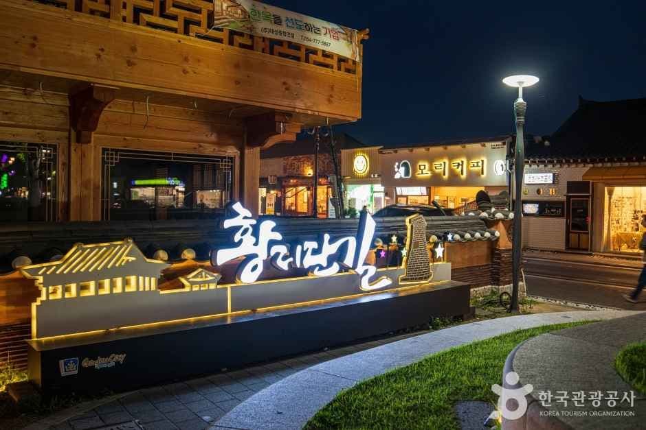
Gyeongju Hwangnidan Street (경주 황리단길)
1080 Poseok-ro, Gyeongju-si, Gyeongsangbuk-do
Nearby Places
![Jugam Pebble Beach [National Geopark] (죽암 몽돌해안 (울릉도, 독도 국가지질공원))](/_next/image?url=http%3A%2F%2Ftong.visitkorea.or.kr%2Fcms%2Fresource%2F54%2F2533854_image2_1.jpg&w=3840&q=75)
Jugam Pebble Beach [National Geopark] (죽암 몽돌해안 (울릉도, 독도 국가지질공원))
3140 , Ulleungsunhwan-ro, Ulleung-gun, Gyeongsangbuk-do
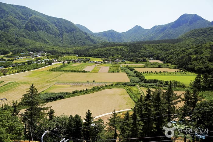
Nari Basin (나리분지)
Nari-gil, Ulleung-gun, Gyeongsangbuk-do
![Samseonam Rocks [National Geopark] (삼선암 (울릉도, 독도 국가지질공원))](/_next/image?url=http%3A%2F%2Ftong.visitkorea.or.kr%2Fcms%2Fresource%2F77%2F2745577_image2_1.jpg&w=3840&q=75)
Samseonam Rocks [National Geopark] (삼선암 (울릉도, 독도 국가지질공원))
Cheonbu-ri, Buk-myeon, Ulleung-gun, Gyeongsangbuk-do
![Bongnaepokpo Falls [Ullengdo & Dokdo National Geopark] (봉래폭포 (울릉도, 독도 국가지질공원))](/_next/image?url=http%3A%2F%2Ftong.visitkorea.or.kr%2Fcms%2Fresource%2F28%2F1893628_image2_1.jpg&w=3840&q=75)
Bongnaepokpo Falls [Ullengdo & Dokdo National Geopark] (봉래폭포 (울릉도, 독도 국가지질공원))
Dodong-ri, Ulleung-eup, Ulleung-gun, Gyeongsangbuk-do

Gwaneumdo Island (관음도)
Cheonbu-ri, Buk-myeon, Ulleung-gun, Gyeongsangbuk-do