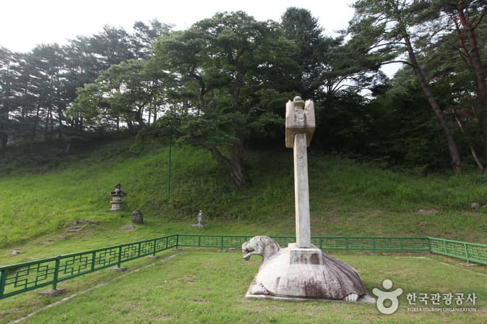
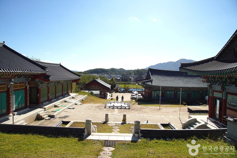
Yeongwol Beopheungsa Temple (법흥사(영월))
1352, Mureungbeopheungn-ro, Yeongwol-gun, Gangwon-do
About
Discover the ancient serenity of Beopheungsa Temple, a historic sanctuary rooted in the Silla Dynasty from 647 AD. Travelers drawn to deep Korean history and quiet contemplation will find much here. Expect to wander through preserved architecture and feel the enduring spirit of centuries of devotion. It offers a profound escape for culture enthusiasts and history buffs alike. Visiting during the vibrant seasons of spring or autumn is ideal for capturing its breathtaking, tranquil beauty.
View original description
Beopheungsa was once a large temple where over 2,000 monks gathered. Today, most of the temple buildings were lost to a number of fires leaving only a few buildings. The pine wood path from Beopheungsa Temple to Jeongmyeolbogung is one of the most picturesque sites in the nation. The location was originally named Sajasansa but later changed to Sajasan Jeongmyeolbogung in 1939. In addition to the path, the nine peaks (Gubongdae) lined up one after another forms another charming view.
Location
37.37174, 128.26107
More Attractions in Gangwon

Janghohang Port (장호항)
103, Janghohang-gil, Samcheok-si, Gangwon-do
Simwonsa Temple (심원사(철원))
58 Sangno 1-gil, Dongsong-eup, Cheorwon-gun, Gangwon-do
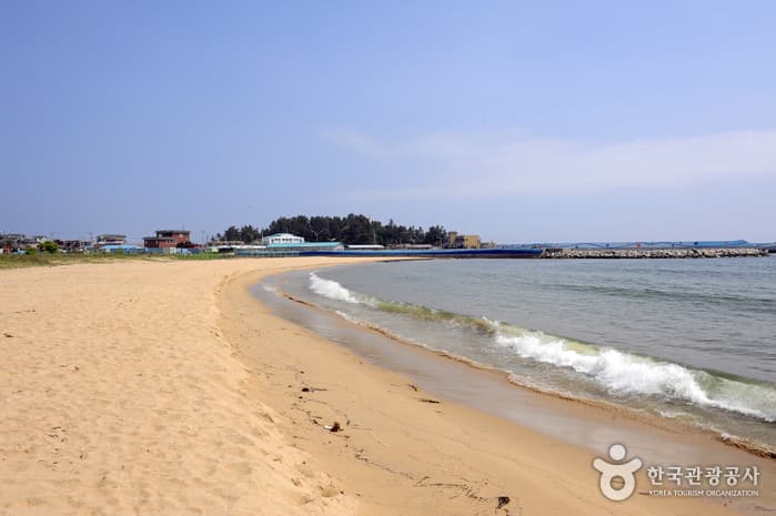
Bongsudae Beach (봉수대해변)
Oho-ri, Goseong-gun, Gangwon-do

Abai Village Ferry (아바이마을 갯배)
39, Jungangbudu-gil, Sokcho-si, Gangwon-do
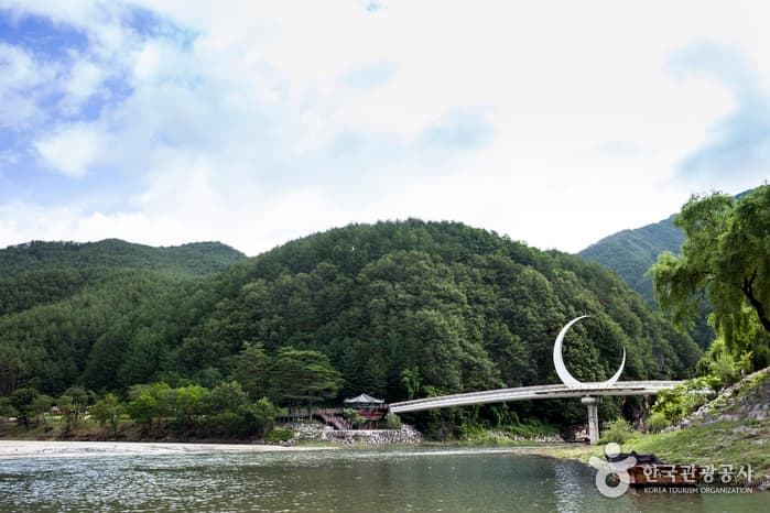
Auraji Lake (아우라지)
69, Auraji-gil, Jeongseon-gun, Gangwon-do

Mukhohang Port (묵호항)
22, Ilchul-ro, Donghae-si, Gangwon-do